")
")
")

Nature
NATURE AND RECREATION
Hiking und Cycling
Our region offers a beautiful area to explore on foot or by bike. Here you find information about the most beautiful routes - including a printable hiking map.
Hiking trails
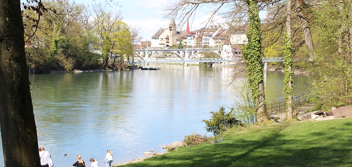
The Reuss Promenade
Roundwalk
Duration: 45 minutes
On the south end of town the «Reuss Promenade» begins. It extends to the dam of the river power plant. A few more steps away, you find the Emaus Chapel, a former hermitage and a point of interest for its baroque wall painting series with scenes from the life of St. Anthony the Hermit, Anthony of Padua and Nicholas of Flüe.
Show online map (SchweizMobil)
Hiking map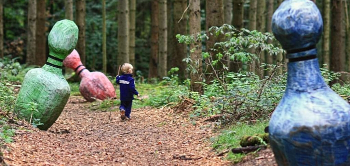
Erdmannlistein and Freiämter Sagenweg (Path of Legends)
Bremgarten-Erdmannlistein-(Waltenschwil)
Duration: 2 hours
The «Erdmannlistein» is a group of legendary erratic blocks of granite which were left behind after the last ice age. There are some nice barbecue spots around it. Explore the Freiämter Sagenweg (a forest-path with art objects visualizing local legends).
Show online map (SchweizMobil)
Hiking map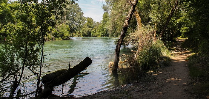
Walking tour to Mellingen
Bremgarten-Gnadenthal-(Mellingen)
Duration: 3. to 3.5 hours
On this route down river there are the most attractive stretches of the Reuss Valley: the nature reserve Foort at Eggenwil, a beaver habitat, or the Wildenau, where the river splits into several branches. A trip on the river-ferry in Sulz completes the experience (operates only on weekends in summer).
Show online map (SchweizMobil)
Hiking map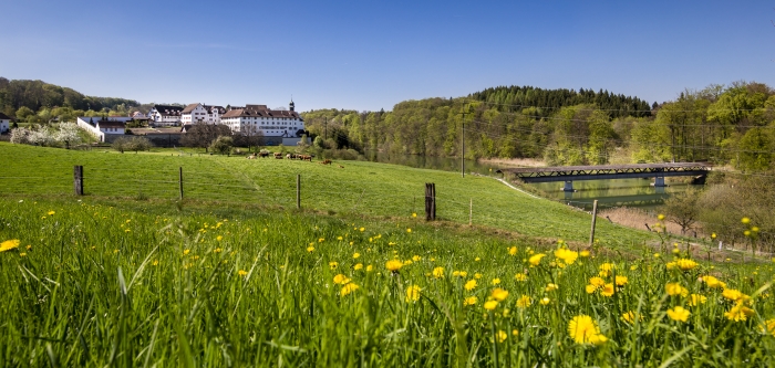
Dominiloch and Hermetschwil Abbey
Bremgarten-Hermetschwil
Duration: 1.5 to 2 hours
There are walking paths on either side of the river and a wooden pedestrian bridge connecting Hermetschwil Abbey with Dominiloch, where you can find relics from the past: a landmark bearing the arms of the countship of Baden and Zurich and the chiseled year dates 1471 and 1694.
Show online map (SchweizMobil)
hiking map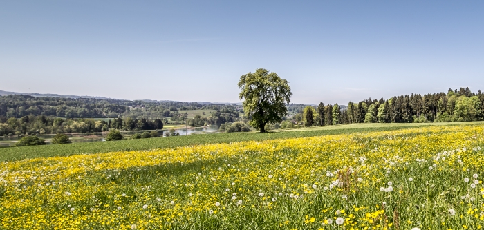
Flachsee walk
Bremgarten-Rottenschwil
Duration: 2.5 to 3 hours
The "Flachsee" is the 1.4 kilometer long southern part of the river reservoir; a nature reserve and bird sanctuary. This lake is the second largest lake in the whole canton of Aargau which lies completely within canton borders. It is an attraction for many leisure seekers and especially bird lovers for its variety of birds.
Show online map (SchweizMobil)
Hiking mapCycling / Bike trails
Bremgarten is located at the Swiss national bicycle route 77 "Rigi-Reuss-Klettgau". Apart from this well-known section between Rotkreuz and Brugg, you find here many other interesting bike trails. For further information contact the Tourist Office.
Bremgarten-Mellingen
This route takes you from the old town of Bremgarten through Fischbach and Gnadenthal to Mellingen. There are regular bus services back to Bremgarten.
Bremgarten-Rottenschwil
Both cyclists and pedestrians share this beautiful path, which leads past the Emaus chapel and across the beautiful fields to the southern point of Flachsee.